by Team Tearline | Sep 1, 2023 | News
Researchers at Team Tearline utilized resources made available by the National Geospatial-Intelligence Agency to investigate China’s financial investments in two infrastructure projects in Papua New Guinea as a way to “establish a stronger commercial...

by Team Tearline | Dec 12, 2022 | GDIL Research Project Update, News
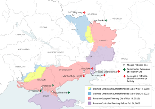
Focusing on Russia’s movement of temporary accommodation centers (TACs) and the existence of filtration sites in Russian-occupied areas of Ukraine, Team Tearline analyzed satellite imagery provided by the National Geospatial-Intelligence Agency to determine the...

by Team Tearline | May 25, 2022 | GDIL Research Project Update, News
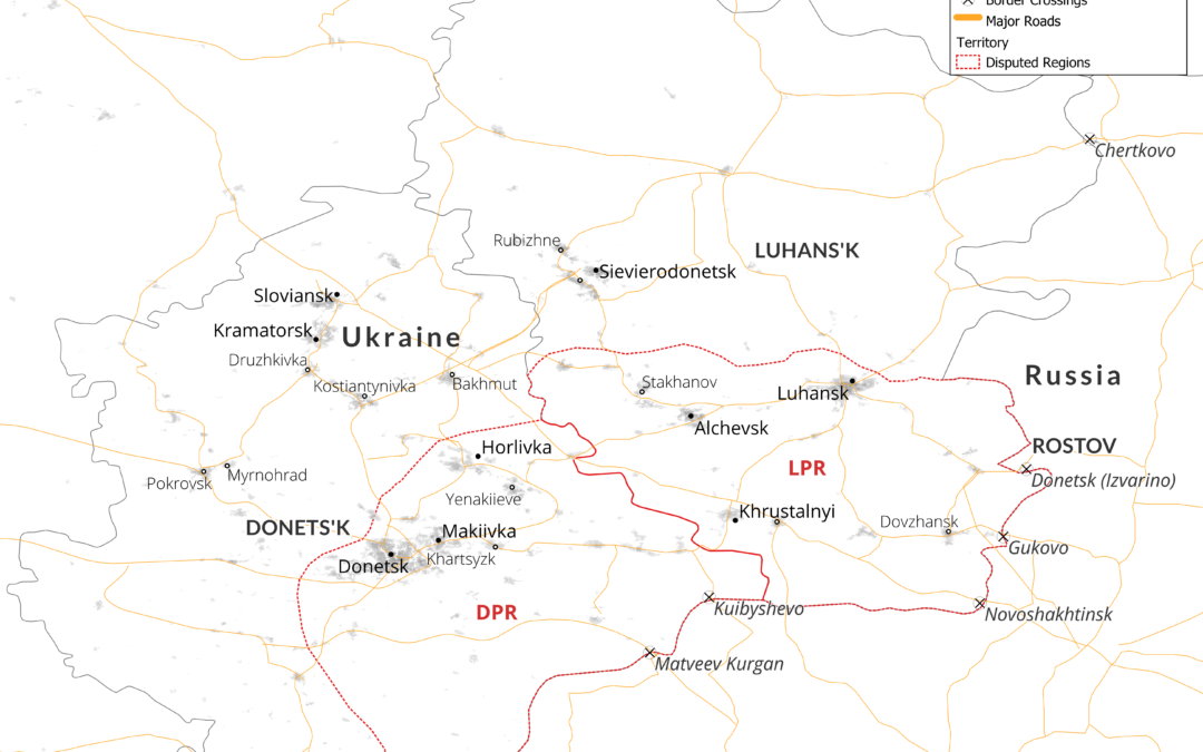
The GDIL “Project Tearline” team published the result of their research this semester. The team focused on disinformation about Ukrainian refugees. Check out the report to learn more about how the students analyzed satellite imagery in order to debunk...


